SITES Overview
SITES - Land Development
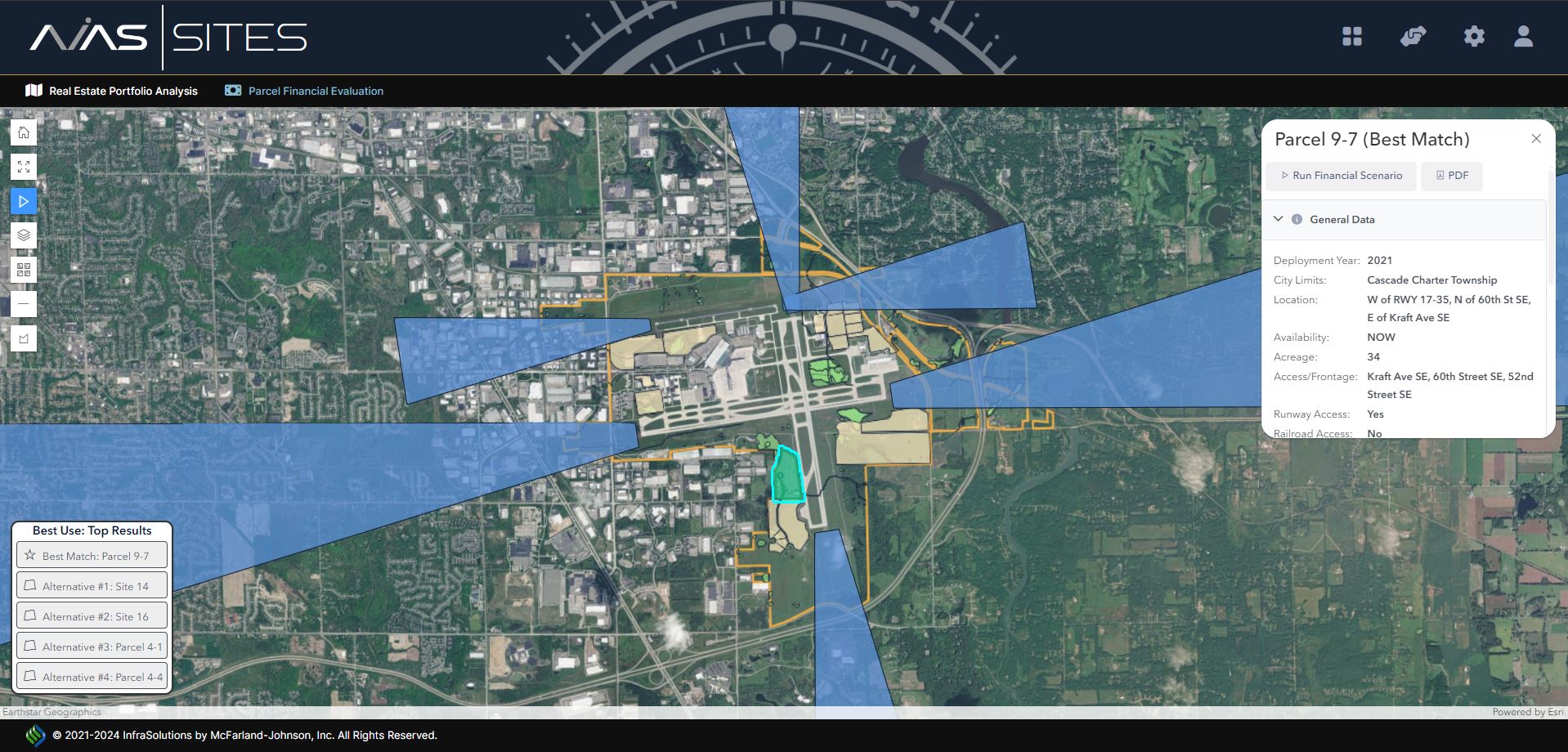
The AVIAS SITES Land Development application allows your staff to manage your real estate portfolio of assets. SITES provides an auto updated map of all the parcels that the airport has available for both aviation and non-aviation development. The application allows you to inventory and create a portfolio of real estate assets and can be updated for lease management if needed.
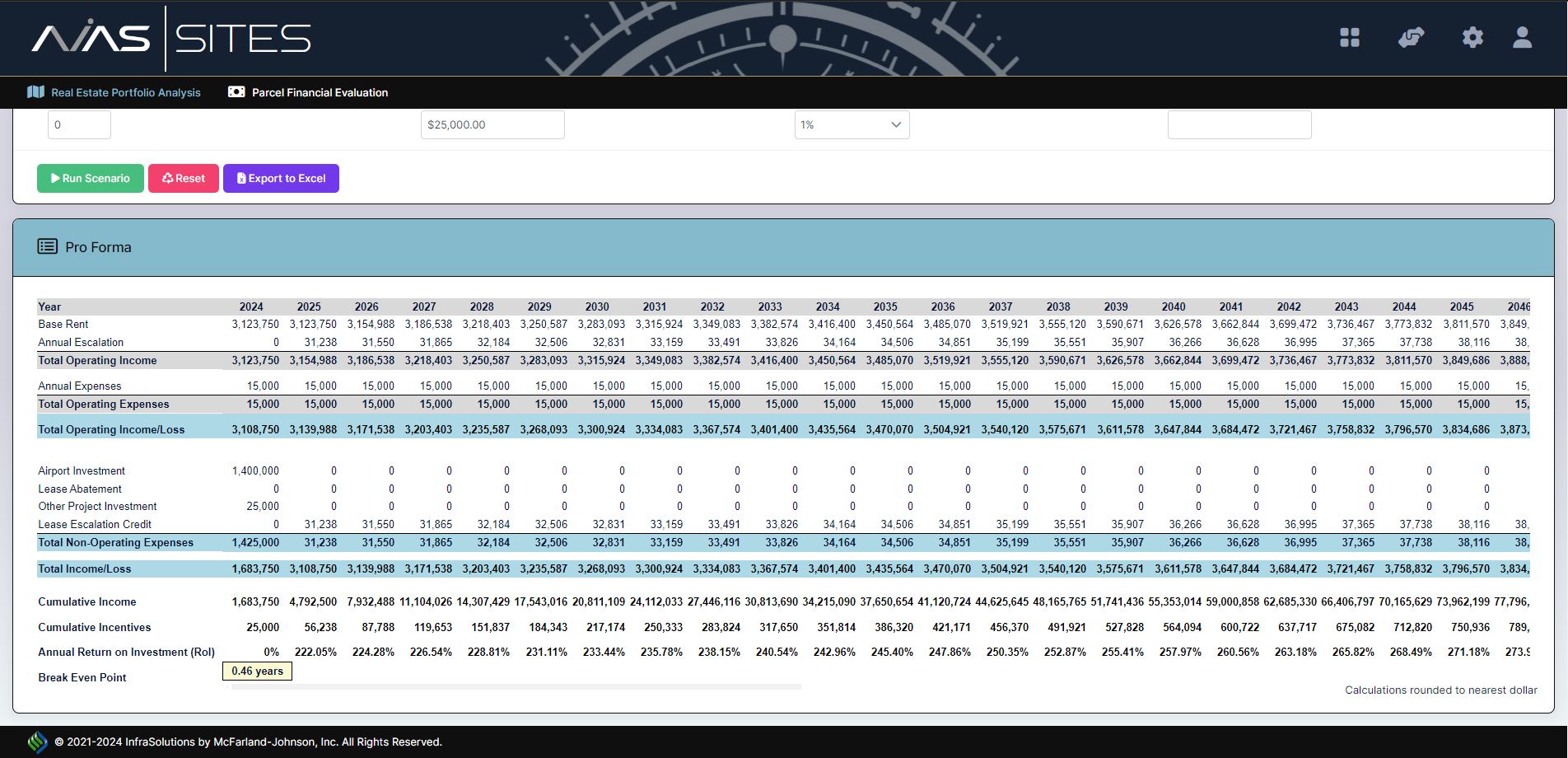
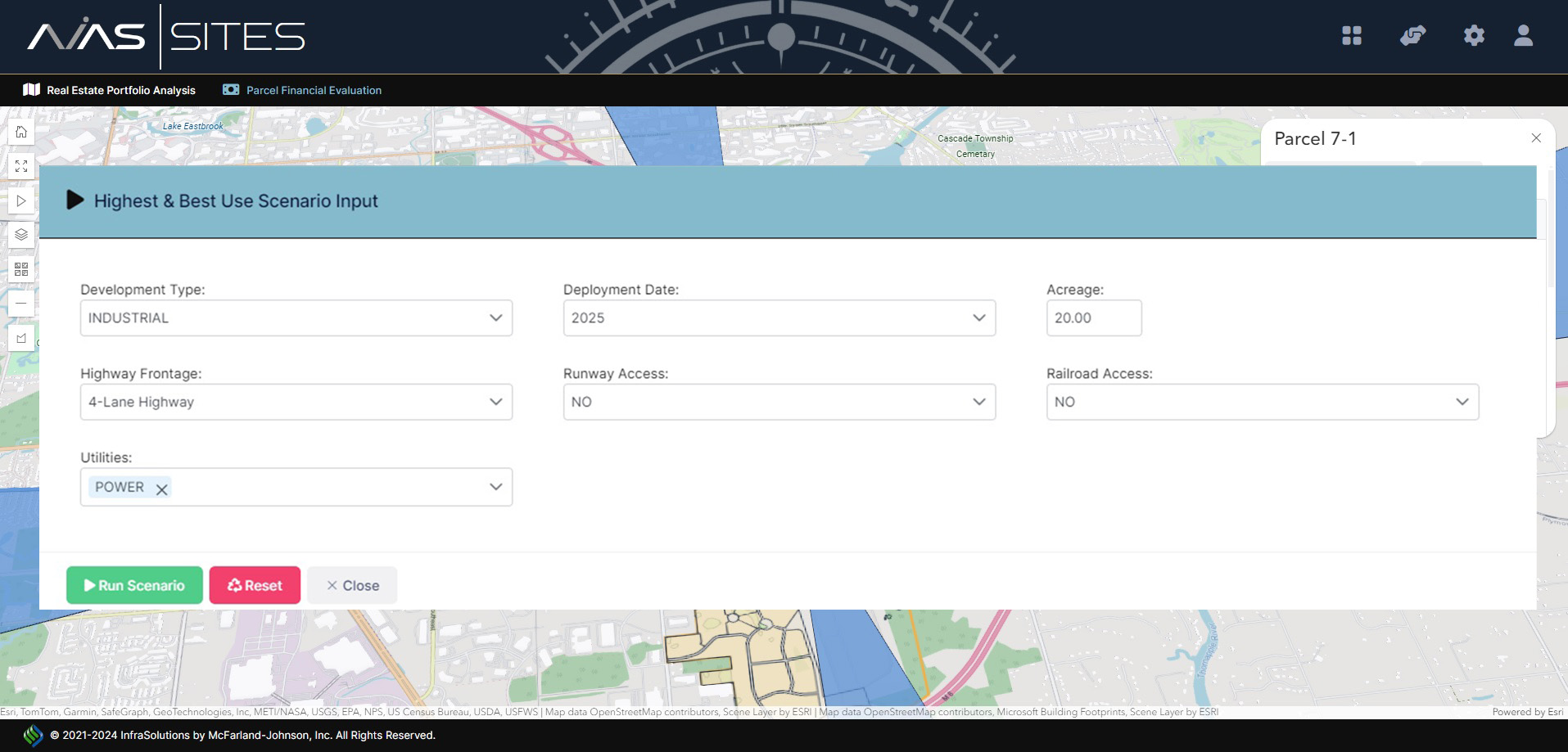
SITES optimizes land utilization, customized to your airport, breaking down properties into various development types. It can be developed into a Strategic Real Estate Master Plan. This allows your staff to run financial scenarios on various opportunities or by land parcel to quickly manage your portfolio, provide analysis, generate proformas to show returns on investments on possible developments.
SITES manages complex sets of data, such as environmental and utility information, highest and best use analysis, development concepts, and instantly displays information on property cards. Your team can quickly create and download marketing materials to send to potential tenants and developers.
This application is a proprietary software program of McFarland-Johnson, Inc., and protected under U.S. Patent No. 9,189,824.
Technical Specifications


 Meet AVA – Your AI Co-Pilot
Every AVIAS application is enhanced with AVA, our AI-powered virtual assistant designed to make airport planning faster, smarter, and easier. AVA provides instant, natural-language access to your data, guides users through complex tasks, and delivers real-time answers across the entire AVIAS suite. With voice-enabled interaction, multi-threaded conversations, and seamless access to documents and insights, AVA transforms your workflow into a more intuitive and responsive experience—empowering better decisions in less time.
