AEROCLEAR Overview
AEROCLEAR - Obstruction Analysis
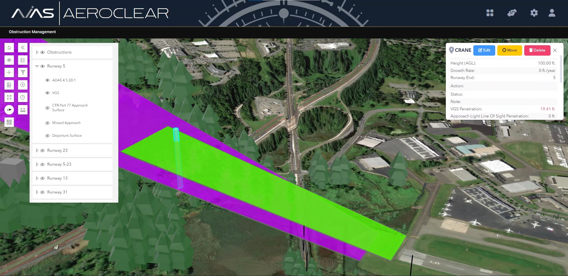
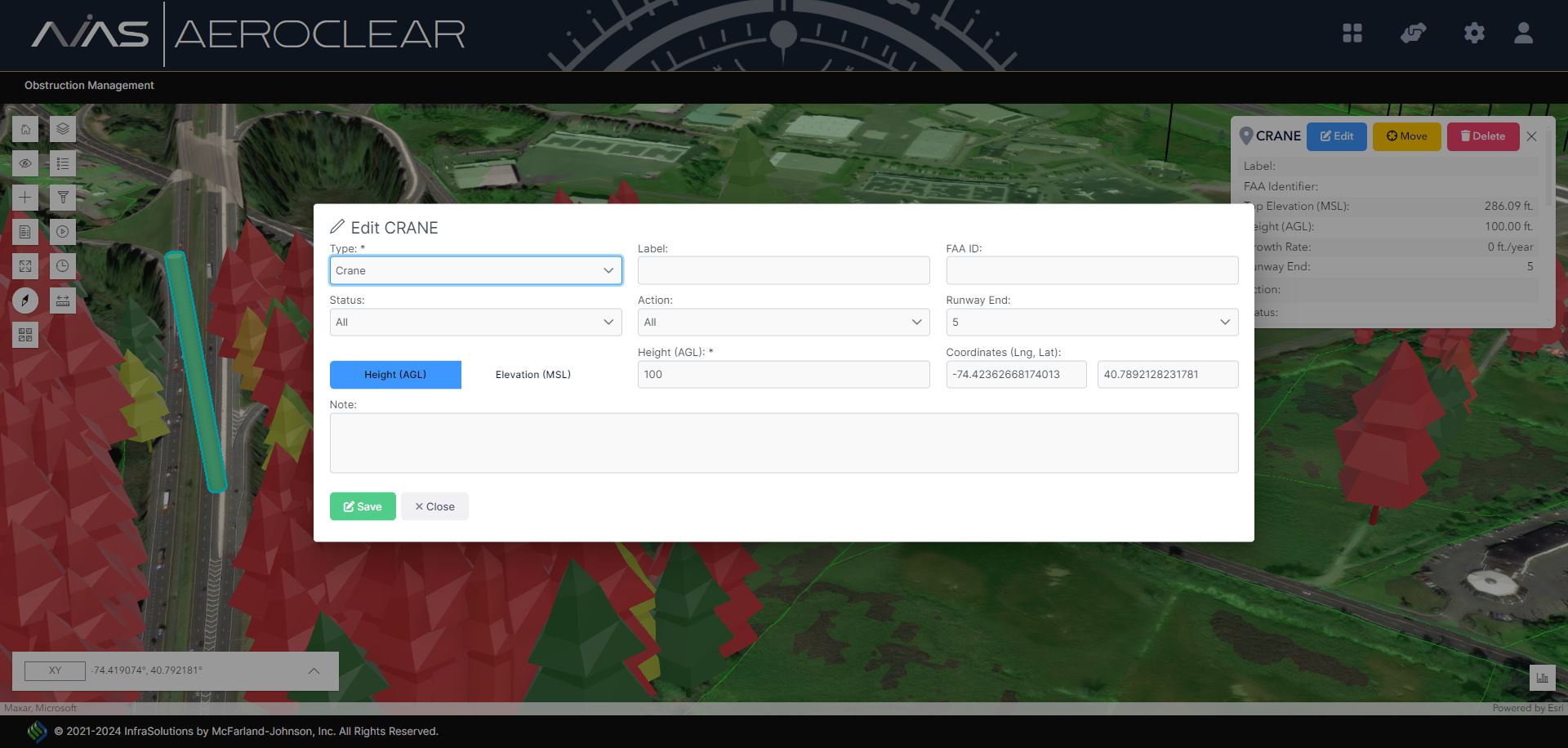
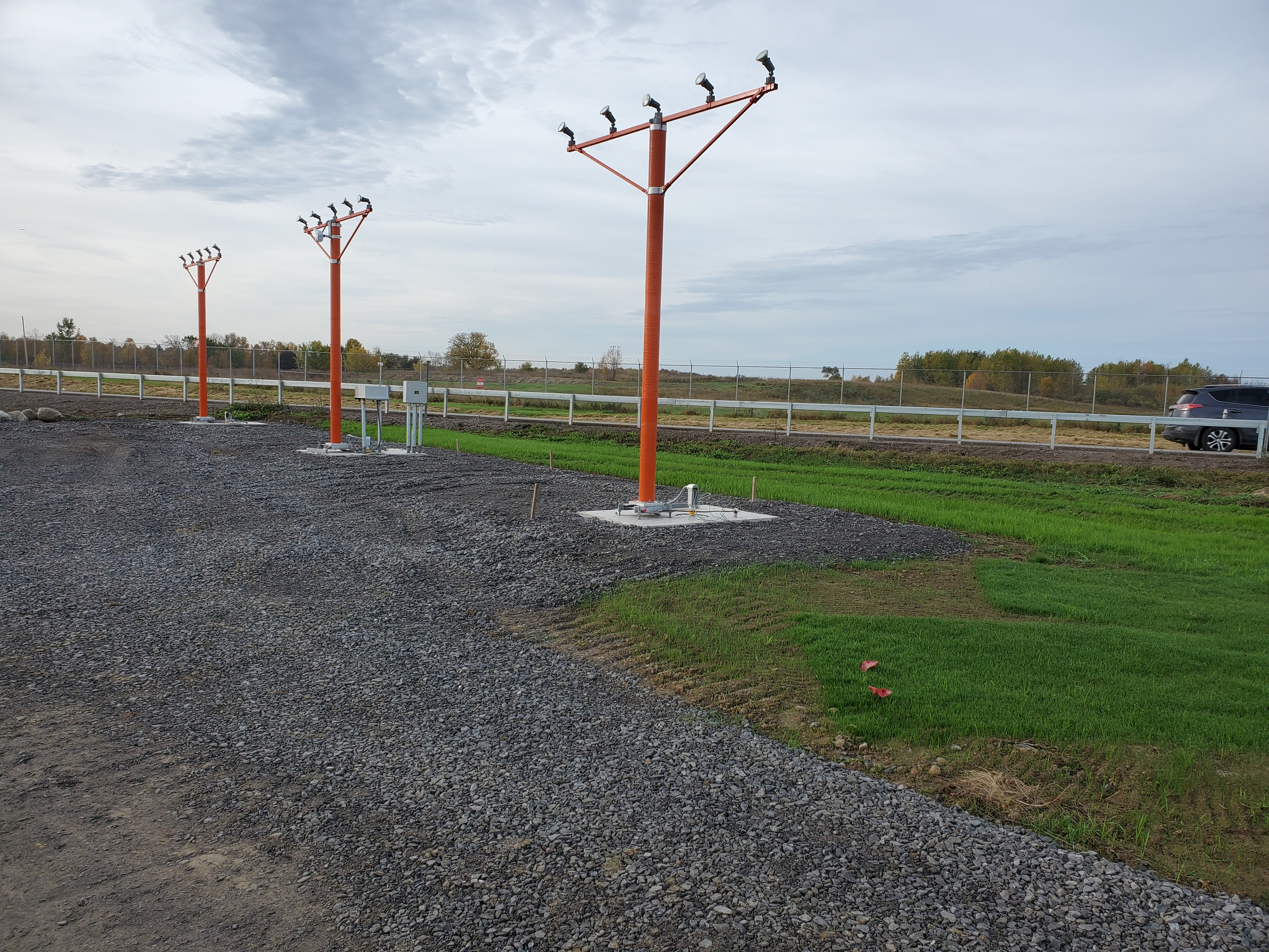
Tracking and mitigating obstructions such as trees, light poles, fences, and temporary structures in and around your airport is crucial for ensuring safe operations. AEROCLEAR, a pivotal component of the AVIAS suite, is your comprehensive resource for visualizing, identifying, tracking, and analyzing obstructions, now enhanced with the capability for users to define and place their own obstructions. This new feature allows for an in-depth assessment of potential impacts to airspace surfaces, providing a dynamic and interactive approach to obstruction management.
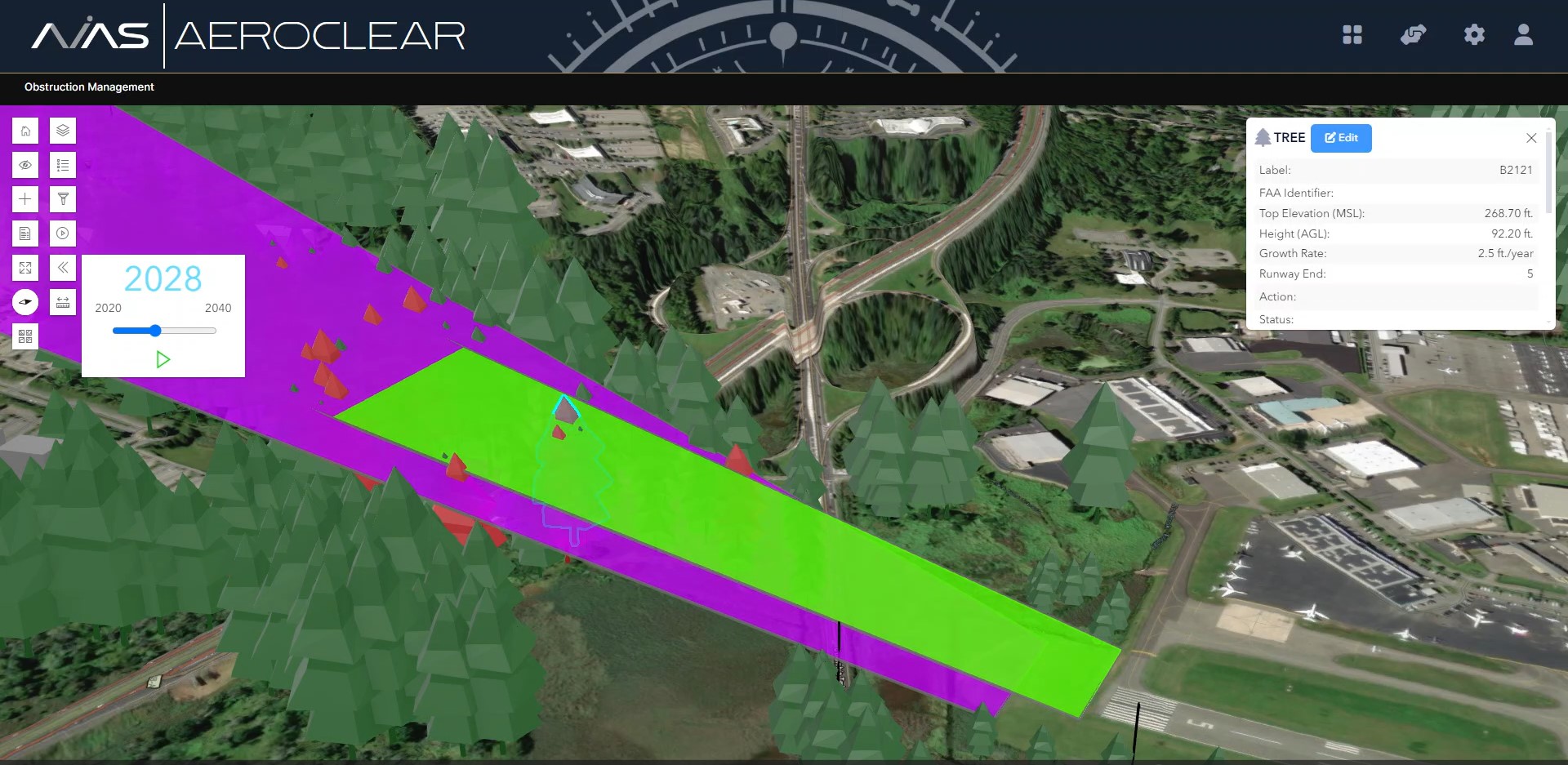
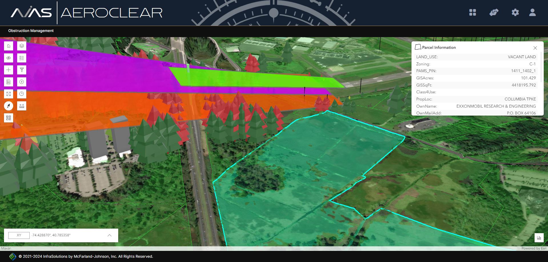
Utilizing the latest GIS data and obstruction survey results, AEROCLEAR offers a robust platform that integrates 3D mapping to pinpoint obstructions within a defined radius of your airport, including a historical view of mitigated obstructions for a comprehensive understanding of airspace changes over time. The application also includes a growth rate tool to forecast the future growth of natural obstructions like trees, aiding in proactive planning and mitigation strategies.
Furthermore, AEROCLEAR's enhanced visualization capabilities allow for the generation of detailed imagery of current and potential obstructions. This feature is invaluable for airport meetings and public outreach, enabling stakeholders and residents to visually grasp the significance of obstruction mitigation efforts, thereby fostering a deeper understanding and support for necessary actions to maintain safety and compliance with FAA regulations.
This simple, map-based application has been a favorite of airports across the country in managing their current and future airport obstructions.
This application is a proprietary software program of McFarland-Johnson, Inc., and protected under U.S. Patent No. 9,189,824.
Technical Specifications


 Meet AVA – Your AI Co-Pilot
Every AVIAS application is enhanced with AVA, our AI-powered virtual assistant designed to make airport planning faster, smarter, and easier. AVA provides instant, natural-language access to your data, guides users through complex tasks, and delivers real-time answers across the entire AVIAS suite. With voice-enabled interaction, multi-threaded conversations, and seamless access to documents and insights, AVA transforms your workflow into a more intuitive and responsive experience—empowering better decisions in less time.
