RUMBLE Overview
RUMBLE - Pavement Management
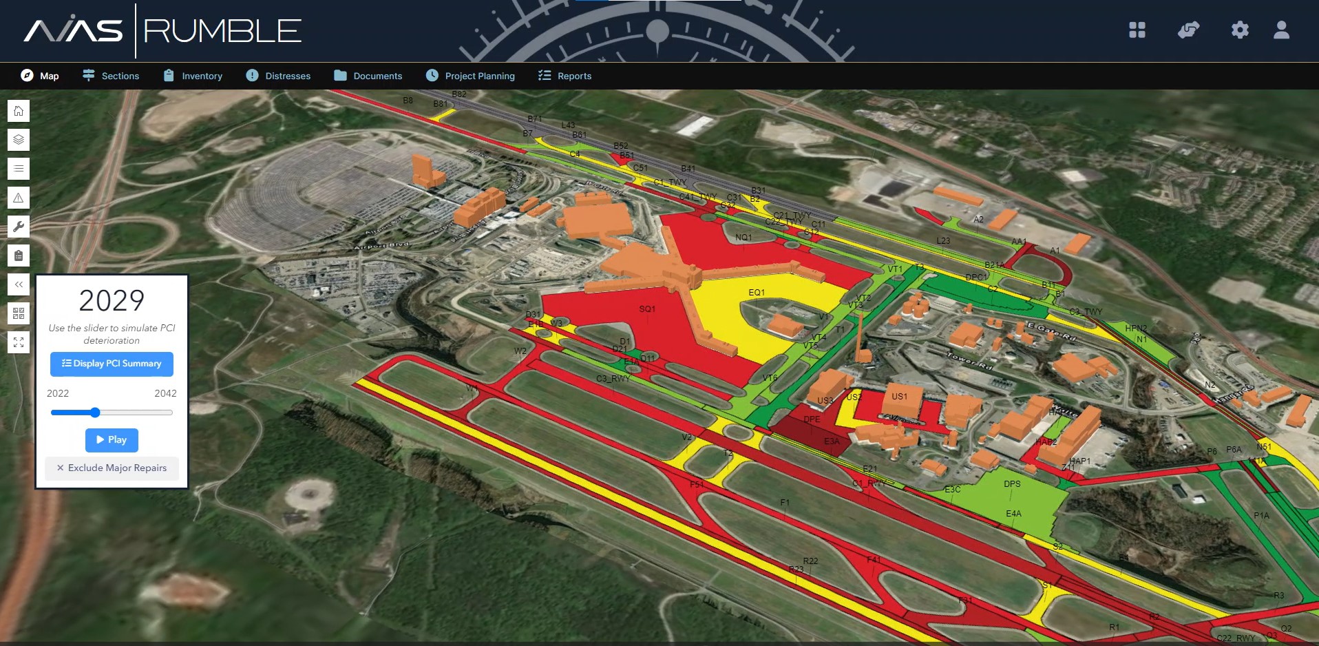
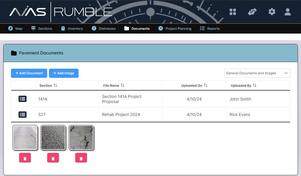
The AVIAS RUMBLE Pavement Management application combines the GIS portion of an interactive map with data MJ collects to conduct timely and cost saving pavement studies. The unique ability to toggle individual pavement sections at your airport allows your staff instant access to current and historical information on deterioration rates, pavement conditions, distresses associated with the pavement, work history, notes, and any related photographs or attachments relevant to the related pavement section.
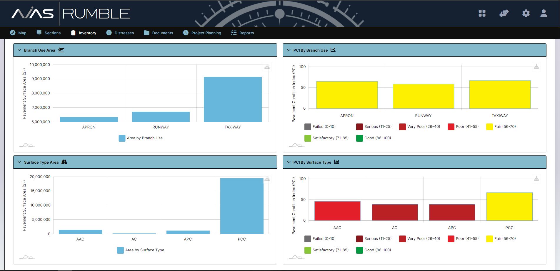
RUMBLE has a customizable pavement inventory of runway, surface area, taxiways, and aprons and will display the current, as well as historical Pavement Condition Index Value data. With the provided data, airport staff will optimize their short- and long-term capital planning initiatives.
This is made easier with our Project Planning feature, built so your airport management can add, remove, and prioritize projects in the years and dates they see fit. The project planning feature breaks down costs by square foot for preventative, minor, moderate, and major projects and can compare repair costs by time if not completed.
RUMBLE has the ability to adjust for inflation rates, so your team will have access to the current costs associated with your project.
This application is a proprietary software program of McFarland-Johnson, Inc., and protected under U.S. Patent No. 9,189,824.
Technical Specifications



 Meet AVA – Your AI Co-Pilot
Every AVIAS application is enhanced with AVA, our AI-powered virtual assistant designed to make airport planning faster, smarter, and easier. AVA provides instant, natural-language access to your data, guides users through complex tasks, and delivers real-time answers across the entire AVIAS suite. With voice-enabled interaction, multi-threaded conversations, and seamless access to documents and insights, AVA transforms your workflow into a more intuitive and responsive experience—empowering better decisions in less time.
